MIT’s new Treepedia shows which are the greenest large cities in the world
Thanks to MIT Senseable City Lab, inhabitants from 20 of the world’s largest cities are able to see how green their urban areas really are.
MIT partnered up with the World Economic Forum and by using Google Maps it came up with Treepedia, an online map that traces the trees density in 20 of the world’s most popular cities. The interactive maps comes with a Green View Index which allows a comparison between the cities’ green canopies.
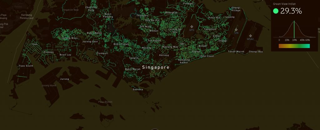
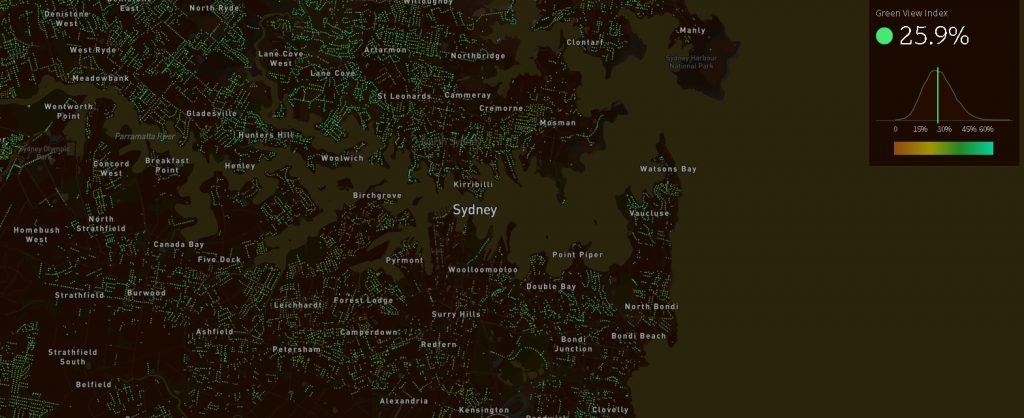
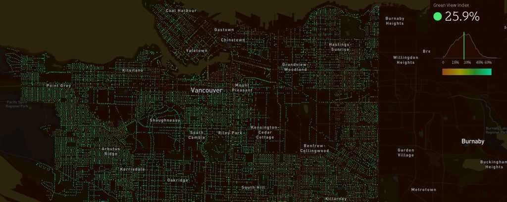
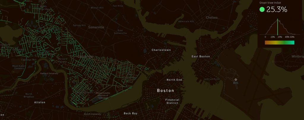
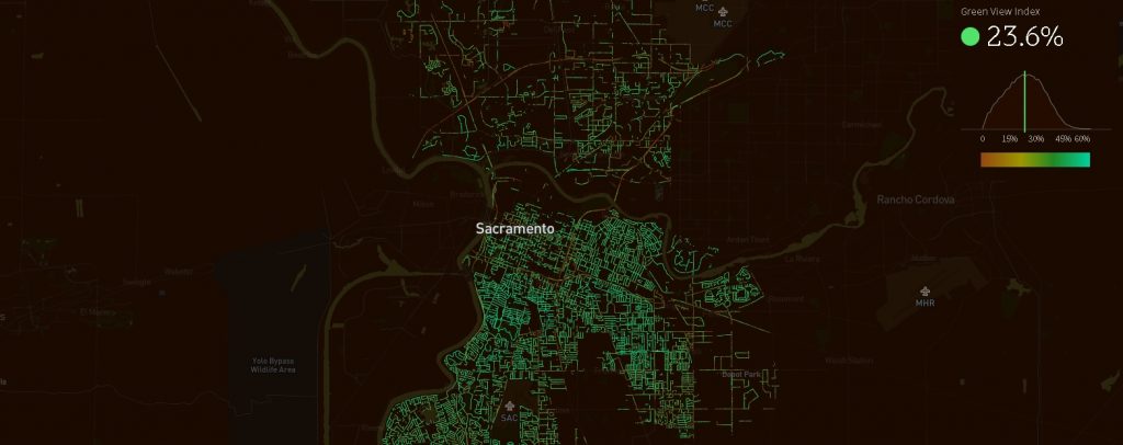
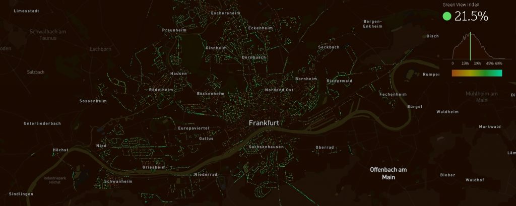
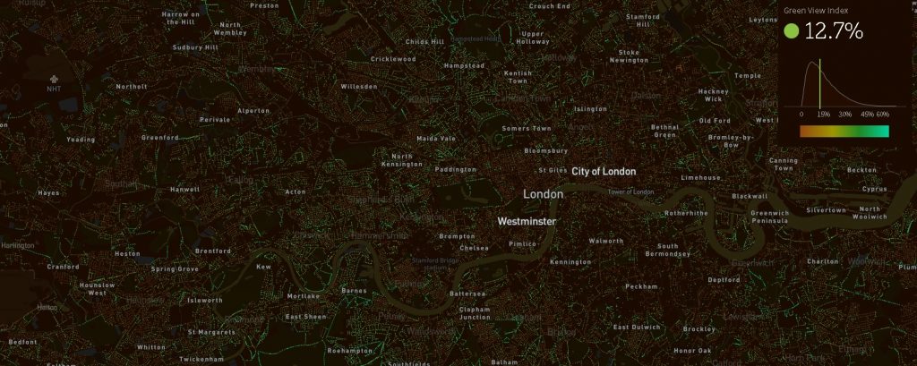
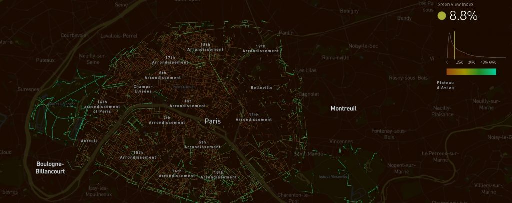
That is why Treepedia can be a useful tool not only for city dwellers but also for architects and urban developers. When looking at the map, the green dots signal the green canopies while the brown dots mean fewer trees, and black areas haven’t been analyzed yet; the median number gives the city its score, according to a Fast Company article.
The project is at the beginning but developers hope that even now it could help planners looking to increase the green canopy of their cities.
Over time, Treepedia will allow users not only to detect the trees but also to find out what species are the trees on their streets and also to place request for more greenery to be planted in their areas.
The interactive map concentrates on the trees that were planted along the roads and does not take parks into account.
By looking at the Green View Index, we can make a ranking of the greenest cities featured on Treepedia:
Singapore
Sydney and Vancouver
Cambridge
Sacramento
Frankfurt
The next five cities are Geneva, with 21.4%; Amsterdam, with 20.6%; Seattle, with 20% and Toronto, with 19.5%.
Two of Europe‘s greatest capitals, London and Paris have less greenery with London indexing 21,7% and Paris being the last of the 20 cities, with only 8.8%. But the figure is low given that parks were not taken into account.
Recent studies have shown that trees in urban areas are extremely important as they lead to cooler temperatures and reduce air pollution.